
Clemens North Fork Interpretive Trail
- Trailhead: Clemens North Fork Interpretive Trail, Clemens North Fork Interpretive Trail, Clemens Seeley Creek Access Trail & Clemens Seeley Creek Access Trail
- Season: Year-round
- Hours: Daylight
- Family Friendly: Yes
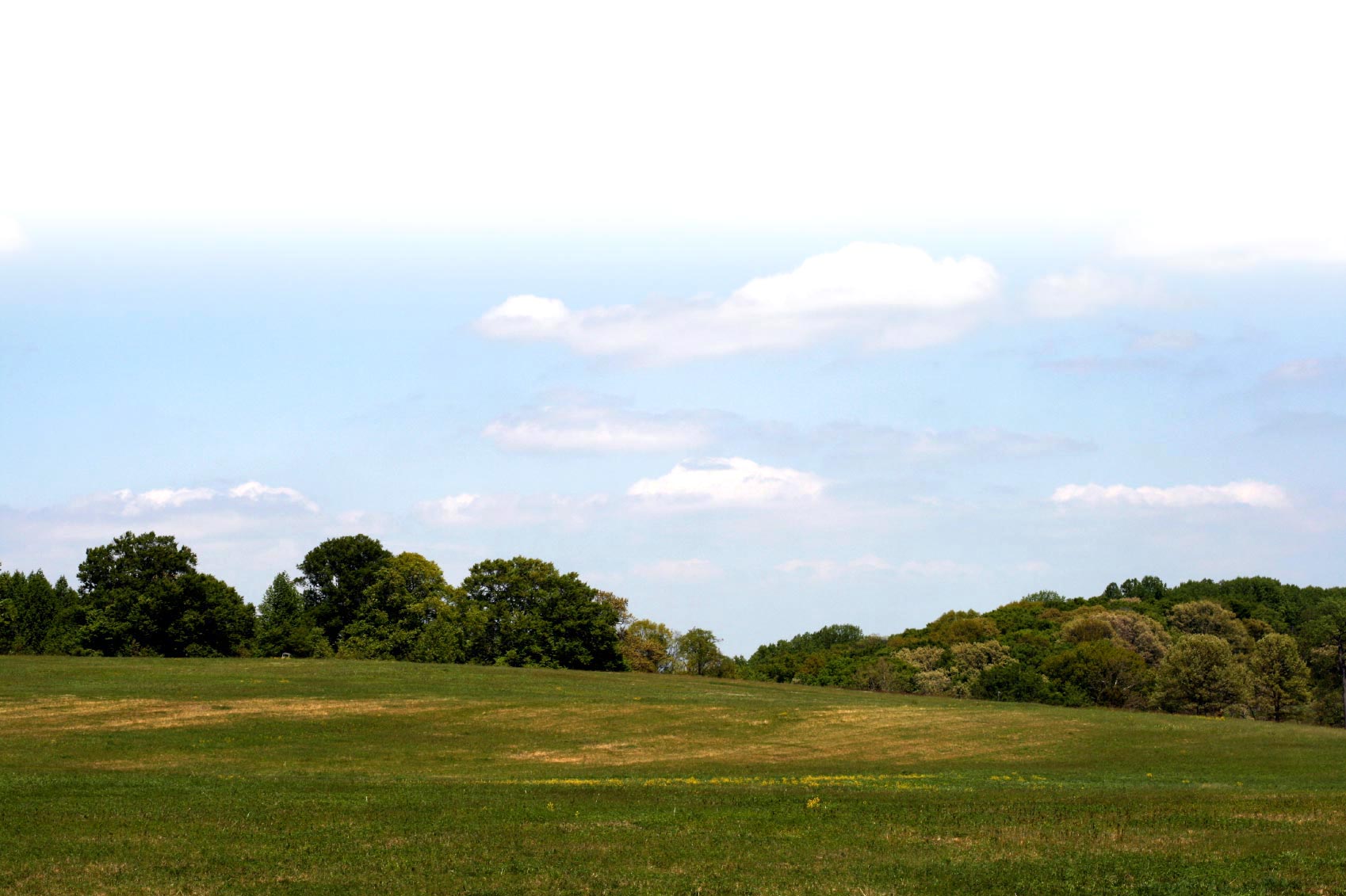
The North Fork Interpretive Trail parallels the Alsea River from its origin at the parking lot kiosk. This 1/4 mile trail segment offers a self-guided interpretive opportunity with 10 riparian-related interpretive stations located along this pleasant riverside pathway. Brochures interpreting the 10 stations are available at the trailhead kiosk. The forest and riparian elements presented here are typical of the Oregon Coast Range environment. Mid-way along the trail, take the time to watch the river activity from the salmon viewing deck, built as an Eagle Scout project. During spawning season salmon may be observed building their gravel nests below in order to prepare for the next generation. To return to the parking lot either retrace your steps or make a loop by taking the Sealy Creek access trail.
Trail attributes
- Dogs allowed on leash
- Dogs allowed under voice control
- Family Fun
- Hike
- Restroom
- Run
- Wildlife Watching
Know before you go:
- Dogs: Only on leash
- Site Fee: None
- Current Conditions: Lorem ipsum
- Tips: Road to site not maintained for winter travel sample link. Lorem ipsum dolor sit amet.
Photos
Trail Manager
