
Clemens Seeley Creek Access Trail
Length: 0.34 miles | Elevation Gain: 10.3 feet |
- Trailhead: Clemens North Fork Interpretive Trail, Clemens North Fork Interpretive Trail, Clemens Seeley Creek Access Trail & Clemens Seeley Creek Access Trail
- Season: Year-round
- Hours: Daylight
- Family Friendly: Yes
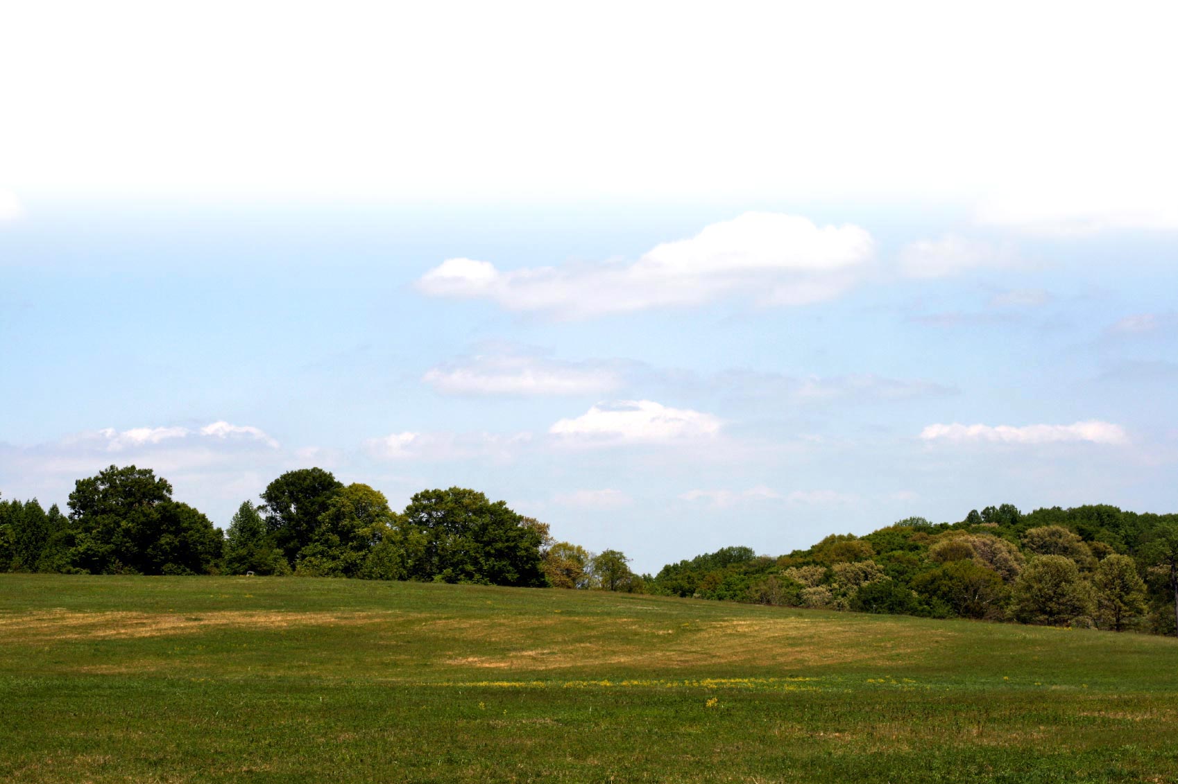
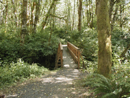
The Seeley Creek Access Trail leads from the parking area trailhead through a mixed forest of both conifers and deciduous tree species. This forest still shows the signs of logging from the 1920's era with several large stumps from ancient trees still showing the notches for the springboard platforms. Loggers stood on these platforms to work their crosscut saws, or "misery whips" back and forth through the massive trees so dominant in this area prior to industrialized logging. The bridge over Seeley Creek offers a picturesque photo opportunity or wildlife watching spot. Once over this bridge, the trail leads to the southernmost portion of the park and connection with the South Loop Trail.
TRAIL TIPS: Lorem ipsum dolor sit amet, consectetur adipisicing elit, sed do eiusmod tempor incididunt ut labore et dolore magna aliqua. Ut enim ad minim veniam, quis nostrud exercitation ullamco laboris nisi ut aliquip ex ea commodo consequat. Duis aute irure dolor in reprehenderit in voluptate velit esse cillum dolore eu fugiat nulla pariatur. Excepteur sint ocupid ratatat non proident, sunt inculpa qui officia deserunt mollit anim id est laborum.
Trail attributes
- Dogs allowed on leash
- Dogs allowed under voice control
- Family Fun
- Hike
- Restroom
- Run
- Wildlife Watching
Know before you go:
- Dogs: Only on leash
- Site Fee: None
- Current Conditions: Lorem ipsum
- Tips: Road to site not maintained for winter travel sample link. Lorem ipsum dolor sit amet.
Photos
Benton County Natural Areas & Parks Department
Trail Manager
