
North Ridge-Marys Peak
Length: 5.79 miles | Elevation Gain: 2484.2 feet |
- Trailhead: Woods Creek Trailhead, North Ridge Trailhead, Meadow Edge Trailhead, Conners Camp Trailhead, Woods Creek Trailhead, North Ridge Trailhead, Meadow Edge Trailhead & Conners Camp Trailhead
- Season: Open year-round, access permitting. East Ridge, North Ridge and Tie trails closed to bicycles Oct. 15-May 15
- Hours: 24 hours
- Family Friendly: Yes
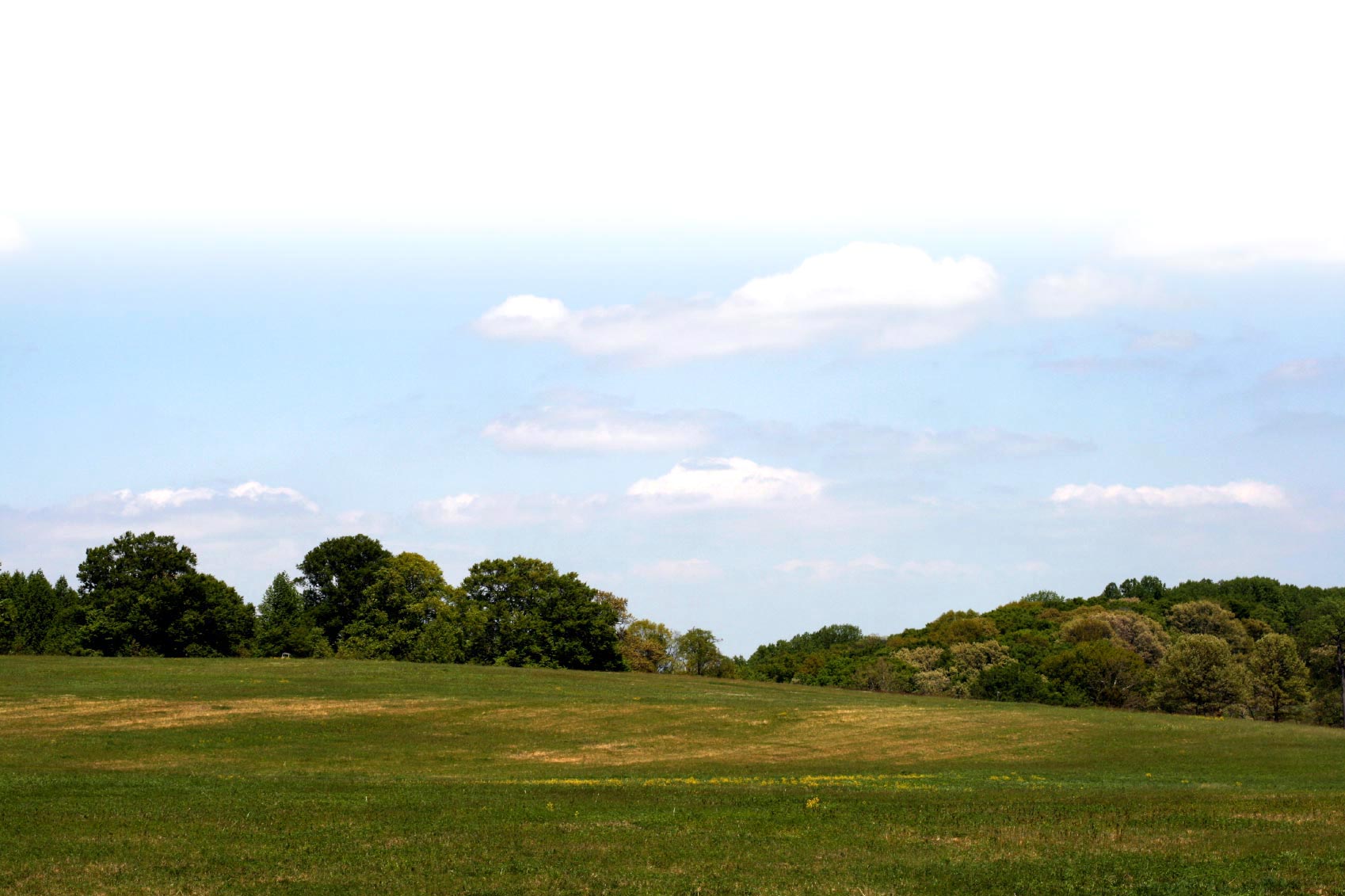
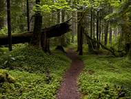
Perhaps the most remote of the Marys Peak trails, the North Ridge Trail is the longest route to the top of Marys Peak. The trail begins at Woods Creek on the north side of Marys Peak, and climbs steadily for an elevation gain of 3200 feet to the Observation Point parking area. The trail meanders through a forest of large Douglas-fir trees. The Tie Trail connects to the North Ridge Trail, about 4 miles from the Woods Creek parking area. There are no facilities at the Woods Creek parking area. Because of its lower elevation, this trail can often be accessed year-round.
TRAIL TIPS: Lorem ipsum dolor sit amet, consectetur adipisicing elit, sed do eiusmod tempor incididunt ut labore et dolore magna aliqua. Ut enim ad minim veniam, quis nostrud exercitation ullamco laboris nisi ut aliquip ex ea commodo consequat. Duis aute irure dolor in reprehenderit in voluptate velit esse cillum dolore eu fugiat nulla pariatur. Excepteur sint ocupid ratatat non proident, sunt inculpa qui officia deserunt mollit anim id est laborum.
Trail attributes
- Dogs allowed on leash
- Fee
- Hike
- Mountain Biking
- Restroom
- Run
- Wildlife Watching
Know before you go:
- Dogs: Only on leash
- Site Fee: None
- Current Conditions: Lorem ipsum
- Tips: Road to site not maintained for winter travel sample link. Lorem ipsum dolor sit amet.
Photos
Siuslaw National Forest
Trail Manager
